 IDG TETIS
Carte d'occupation du sol des corridors rivulaires du bassin versant de la Saone 2014
Cette carte a été produite dans le cadre de la convention 2010 -- 0190 de l'Agence de l'Eau Rhône Méditerranée et Corse concernant l'optimisation d'une méthode de quantification du rôle des corridors rivulaires sur l'état écologique des cours d'eau.
|
|
Citation proposal
. Carte d'occupation du sol des corridors rivulaires du bassin versant de la Saone 2014. https://idg-tetis.teledetection.fr/geonetwork/srv/api/records/0ede2b71-d599-4baf-ad75-9f62050eb864 |
INSPIRE
Identification
- File identifier
- 0ede2b71-d599-4baf-ad75-9f62050eb864 XML
- Hierarchy level
- Dataset
Online resource
- Protocol
- file for download
- Protocol
- file for download
- Protocol
- file for download
Resource identifier
- code
- 0ede2b71-d599-4baf-ad75-9f62050eb864
- Metadata language
- French
- Spatial representation type
- Vector
Encoding
- Format
- GPKG
- Version
- 1.0
Projection
- code
- 2154
Classification of data and services
- Topic category
-
- Environment
- Imagery base maps earth cover
Classification of data and services
Coupled resource
Coupled resource
Classification of data and services
Coupled resource
Coupled resource
Keywords
- General ( Theme )
-
- cartography
- remote sensing
- land cover map
- Very High spatial resolution optical imagery
- GEMET - INSPIRE themes, version 1.0 ( Theme )
- GEMET - Concepts ( Theme )
- GCMD Keywords viewer ( Theme )
- TETIS Thesaurus, version 1.0 21112019 ( Theme )
Other keywords
Geographic coverage
N
S
E
W
))
Temporal reference
Temporal extent
- Begin
- 2014-01-01T00:00:00Z
- End
- 2014-12-31T00:00:00Z
Temporal extent
- Date ( Revision )
- 2022-05-17T19:09:25
Quality and validity
- Lineage
- La méthodologie développée dans le cadre de ces travaux est basée sur celle créée par Tormos et al.(Tormos, 2010, Tormos et al., 2012). Les adaptations et les améliorations proposées sont détaillées dans les travaux de Decherf (Decherf, 2010, Decherf et al., 2011) et Ose (Ose and Decherf, 2011). Lacartographie est créée à partir (i) de la combinaison de données multi-sources, (ii) de la connaissance du terrain et (iii) de la mise en œuvre d’une approche de classification orientée objet. Les données mobilisées possèdent une résolution spatiale fine à très fine : imagerie satellitaire et aérienne àhaute et très haute résolutions spatiales ainsi que des bases de données géographiques à grande échelle géographique.
- Distance
- 20 m
Conformity
Conformity
Conformity
Conformity
Conformity
Conformity
- Explanation
- some explanation about the conformance
- Explanation
- See the referenced specification
- Explanation
- See the referenced specification
Restrictions on access and use
Restrictions on access and use
Responsible organization (s)
Contact for the resource
- Organisation name
- AgroParisTech
Responsible organization (s)
Contact for the resource
- Organisation name
- AgroParisTech
Metadata information
Contact for the metadata
- Organisation name
- CNRS
- Claudia.Lavalley@cnrs.fr
- Organisation name
- AgroParisTech
- Organisation name
- AgroParisTech
- Organisation name
- AgroparisTech
- Organisation name
- AgroparisTech
- Organisation name
- INRAE - UMR TETIS
- kenji.ose@inrae.fr
- Date stamp
- 2022-05-17T19:27:53
- Metadata language
- English
- Character set
- UTF8
SDS
Conformance class 1: invocable
Access Point URL
Endpoint URL
Technical specification
Conformance class 2: interoperable
Coordinate reference system
Quality of Service
Access constraints
Limitation
Use constraints
Limitation
Responsible custodian
Contact for the resource
Conformance class 3: harmonized
Overviews
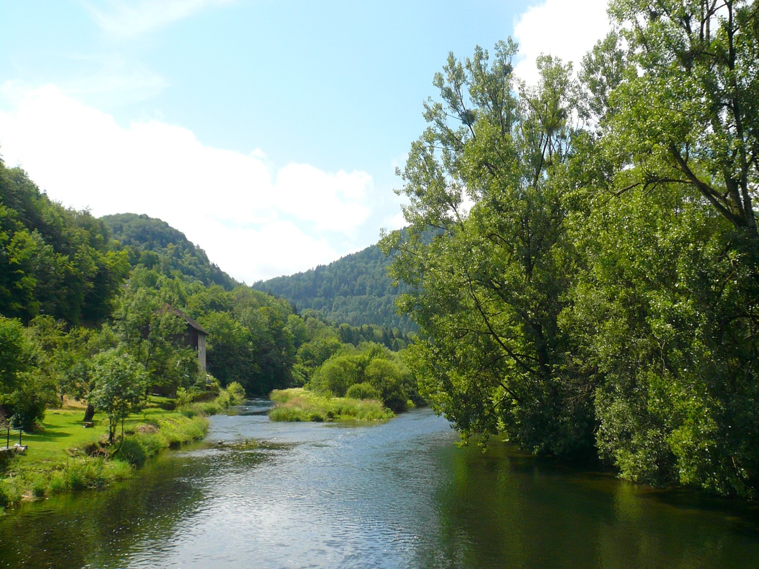
Photo Saone
Provided by

Views
0ede2b71-d599-4baf-ad75-9f62050eb864
Access to the portal
Read here the full details and access to the data.
Associated resources
Not available